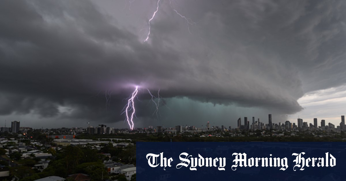
Residents could wake to plenty of sunshine on Saturday morning, Kennedy said, but they should not be lulled into a false sense of security.
“It will build up in the late morning and into the afternoon,” Kennedy said. “Most likely [the storms] will form inland and then travel towards the coast during the day.”

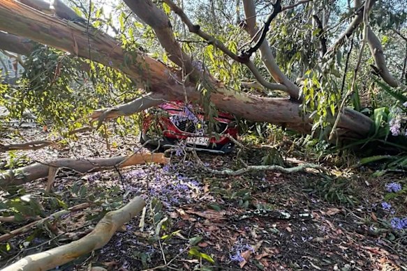
A car was crushed by fallen tree in Fig Tree Pocket on Sunday, October 26.Credit: Energex
Conditions could ease a little on Sunday morning, before another round of thunderstorms rolls over the south-east in the afternoon.
“It’s looking pretty similar to the previous two weekends,” Kennedy said.
Last Sunday, Brisbane was thrashed by fierce afternoon storms that delivered large hail and heavy rain. Wind gusts up to 65km/h brought down hundreds of trees and powerlines, cutting power to 75,000 homes.
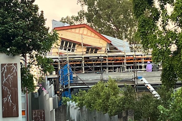
One house under renovation in Highgate Hill partially collapsed in the wild winds.

A house under renovation in Highgate Hill partially collapsed during the storm on Sunday.
That was followed by a day of extreme heat, when the temperature reached 38.7 degrees – Brisbane’s hottest October day in 21 years.
Kennedy said a surface trough would move into the south-east on Saturday and combine with unstable, moist air to create ideal conditions for high-energy storms.
“It’s probably not clearing off until late next week,” he said.
Brisbane experienced its wettest day on Sunday since ex-tropical Cyclone Alfred drenched the city in March. The airport received 61 millimetres of rain, while 53.8 millimetres fell in the city.
So far this month, Brisbane has received 99.2 millimetres of rain, exceeding the monthly average of 85.8 millimetres.
That comes after Brisbane’s driest September in 38 years, with the city recording just 0.8 millimetres of rain.
This weekend’s severe storms could dump 50 millimetres of rain over parts of Brisbane, although widespread falls of 10 to 20 millimetres are predicted.


